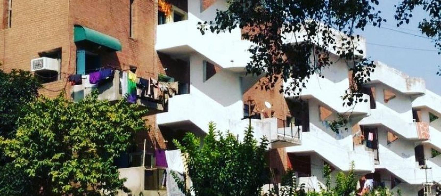
Le Corbusier divided Chandigarh into different sectors, each quite similar to the traditional Indian 'mohalla' (covering 250 acres of area) The sector featured a green strip running north to south, bisected by a commercial road running east to west. The streets were organized in a diminishing hierarchy and labeled V1 through V8
- V1: arterial roads that connect one city to another
- V2: urban, city roads
- V3: vehicular road surrounding a sector
- V 4: shopping street of a sector
- V5: distribution road meandering through a sector
- V6 residential road
- V7: pedestrian path
- V8: cycle track.
Each Sector is surrounded by V2 or V3 roads, with no buildings opening onto them and meant to be self-sufficient, with shopping and community facilities within walking distance.
This photography walk will allow you to explore the lanes and houses of Chandigarh like never before by giving you a better understanding of various nooks and corners of the city.


